Plan Framework
Focus Areas
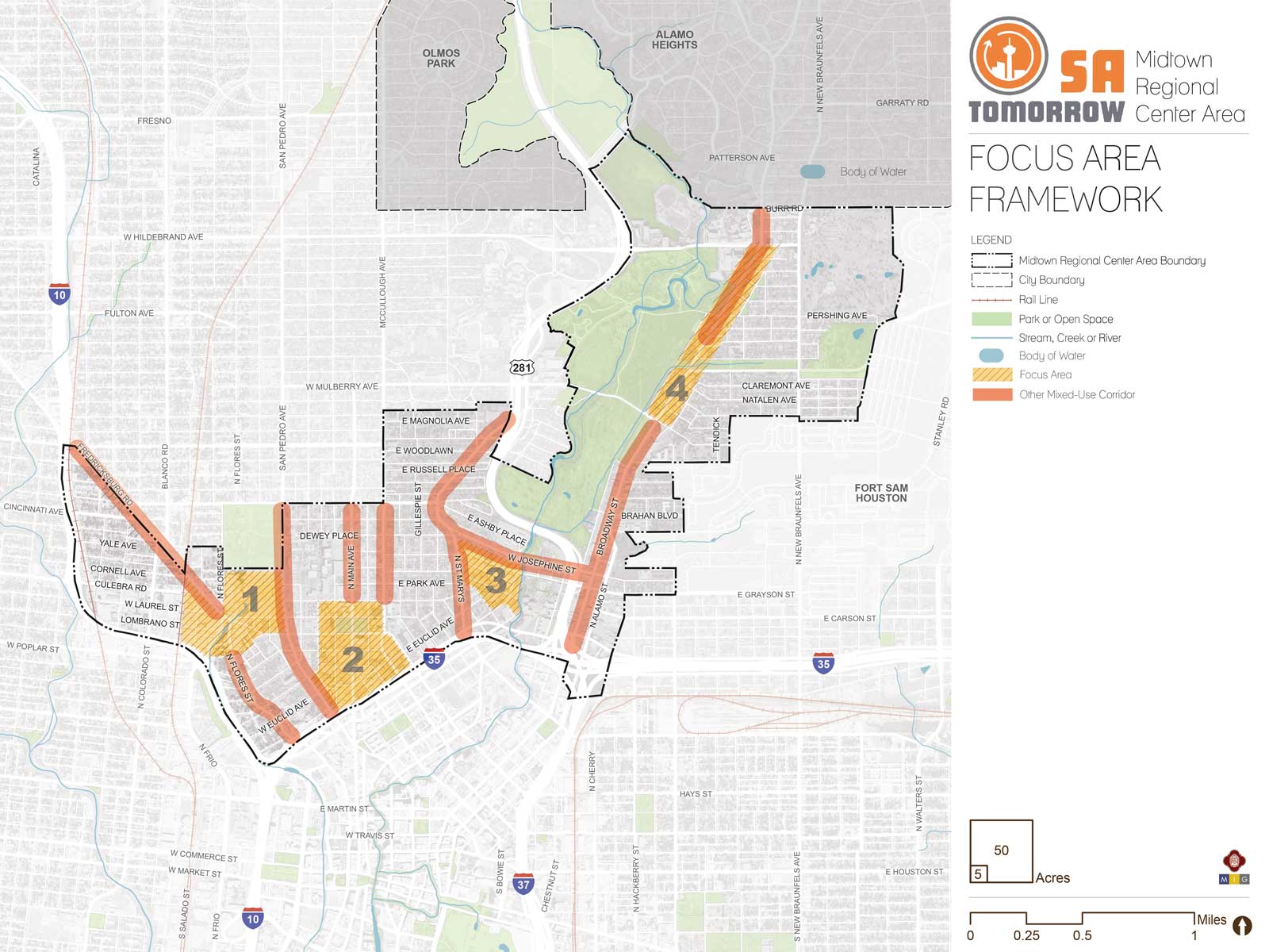
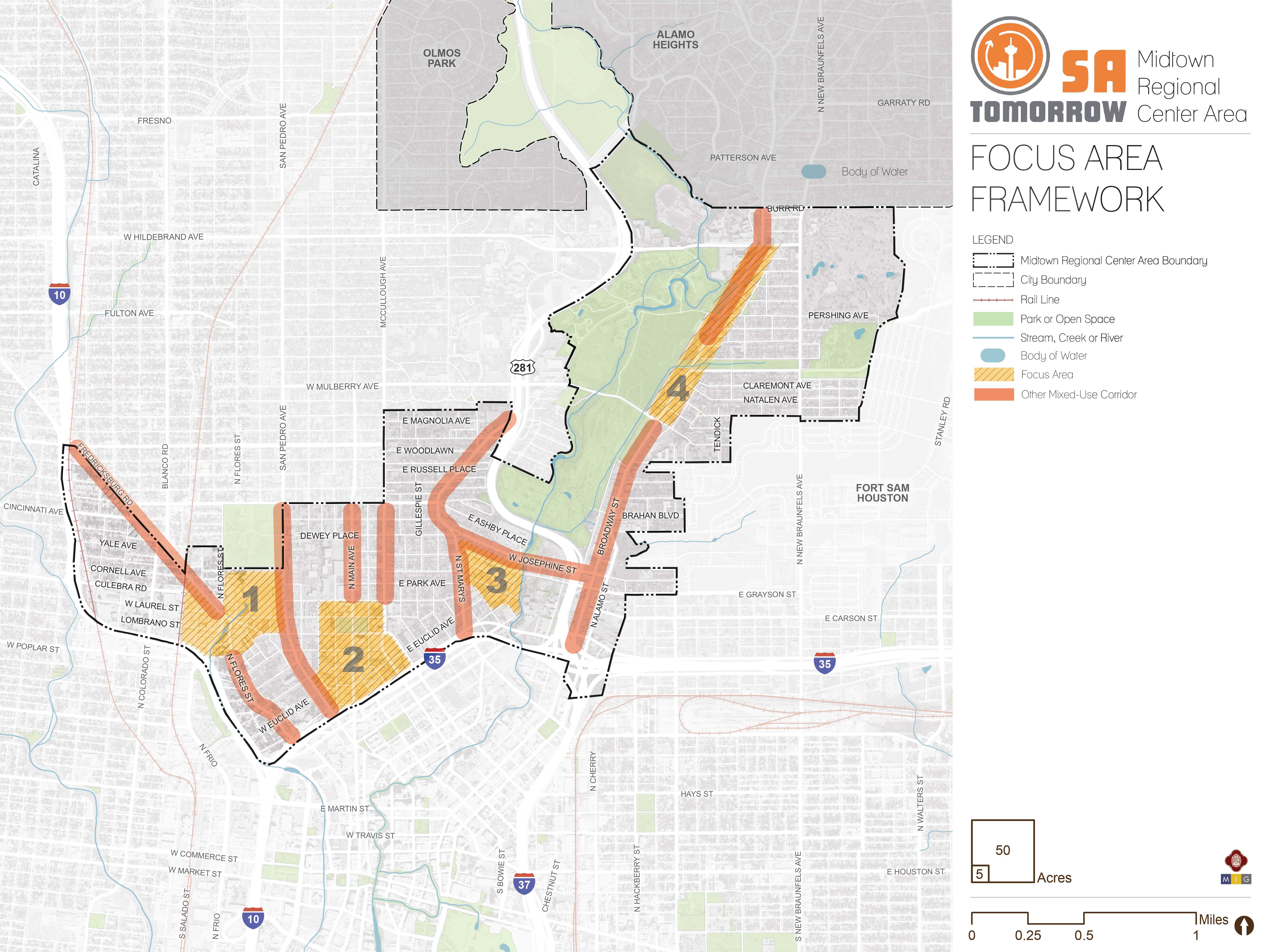
The map below highlights the Focus Areas identified for the Midtown Regional Center Area. To learn more about each of the five focus areas, click on the animated targeted circle.
To provide specific feedback on the map, please click and drag a box on that location of the map and fill out the comment box. We would love to hear more from you!
You can also visit the bottom of the page to leave additional feedback.
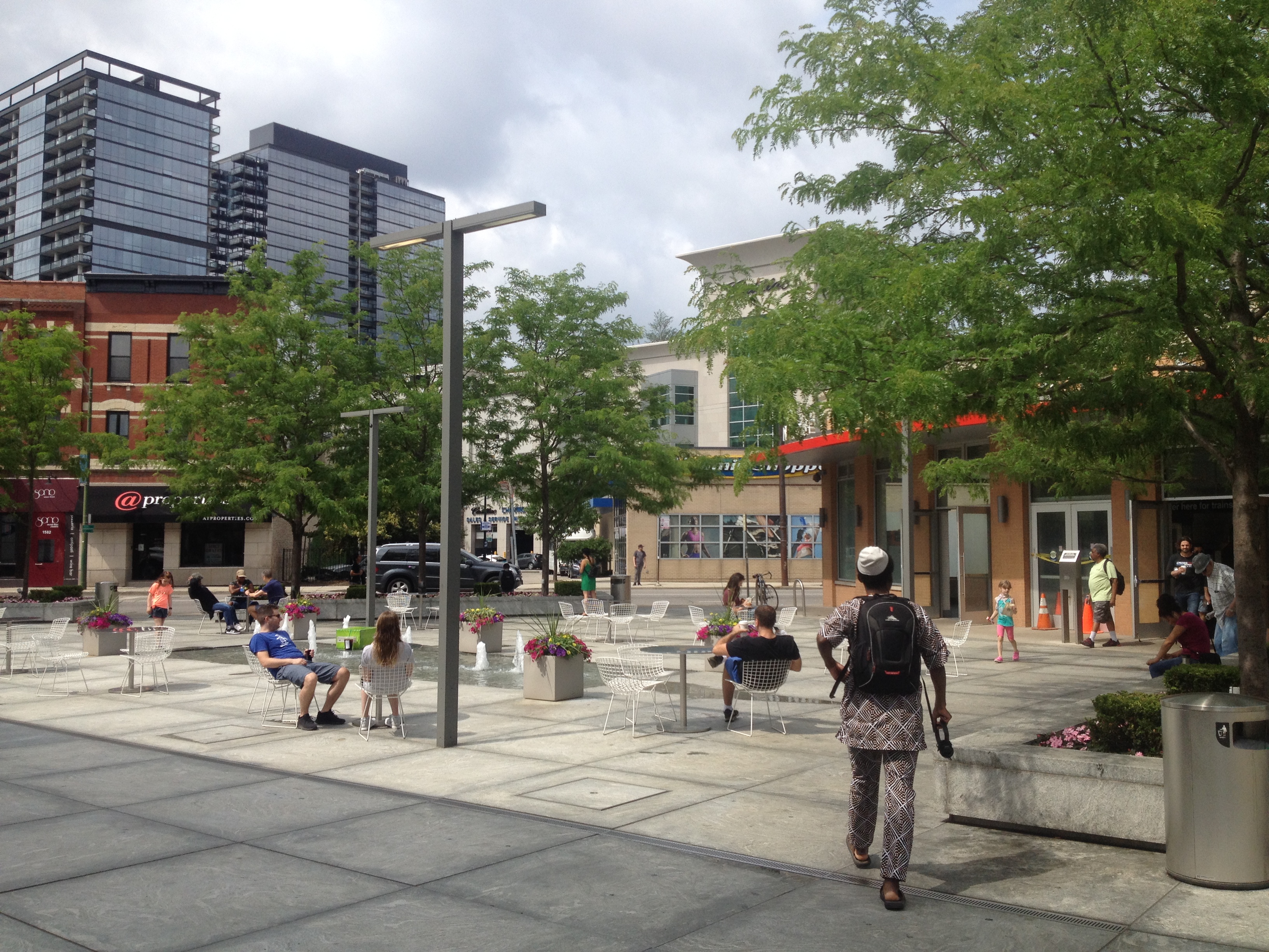
Focus Areas and mixed-use corridors have a strong combination of amenities and assets, where there is room for more people to live, work and play. Focus areas may also have, or be next to, sensitive places like historic areas, creeks, or traditional neighborhoods, where improvements and growth require careful planning. Each has a unique history, and will have a unique future. The plan provides extra focus on these places where there are opportunities to improve quality of life in ways that will be felt by multiple generations. Focus areas and mixed-use corridors are situated throughout the Midtown Regional Center, so the opportunities they provide will not be far from anyone in Midtown.
Recommendation #1:
Prioritize major amenity and infrastructure improvement projects that support growth in focus areas and mixed-use corridors.- In the future, mixed-use corridors and focus areas will host the greatest concentrations of people in Midtown and other Regional Centers. Focusing major infrastructure and amenity improvements in these areas will ensure that they are thoroughly used, benefit many people, and contribute to citywide goals with compounding benefits felt by several generations of San Antonians. Focus areas and mixed-use corridors are located throughout Midtown, so the improvements made in these places will benefit many residents, employees, and visitors. Major public projects in focused areas and mixed- use corridors should incorporate design justice principles into design processes, and support the vitality of local businesses and cultural gathering places. Design justice rethinks design processes, centers people who are normally marginalized by design, and uses collaborative, creative practices to address the deepest challenges our communities face.
Recommendation #2:
Update zoning and design standards to support the unique vision for each focus area and mixed-use corridor, create high quality places, support transportation choices, and avoid impacts to sensitive areas nearby.- In Midtown’s mixed-use corridors and focus areas, existing zoning and development regulations tend to promote development that is inconsistent with the three SA Tomorrow Plans, the Midtown vision and goals, and the unique intentions established for individual areas within Midtown.
- Accommodating population and employment growth in mixed-use corridors and focus areas with high quality development will take some pressure off of neighborhood areas, industrial areas, and natural areas, helping these places retain the values that made them what they are today, while ensuring that quality of life continues improving for future Midtown residents.
Recommendation #3:
Implement housing and economic development programs and incentives to support focus areas and mixed-use corridors as inclusive places of housing, employment, and recreational opportunity for a diverse population.- Midtown is, and will be, a place of opportunity. Midtown includes multiple institutions of higher education, several alternative schools with unique programs for youth, over twice as many jobs as residents, and distinctive concentrations of cultural assets, urban waterways, and parks. Housing and economic development incentives should ensure that Midtown is a place where people of diverse means and backgrounds can participate and contribute. Midtown’s Housing and Economic Development Strategies and San Antonio’s Housing Policy Framework recommend a variety of solutions. While all of them, including those focused on neighborhood stability, contribute to this goal, several may be particularly relevant and important to focus areas and selected mixed-use corridors, as the places planned to have the greatest access to jobs, affordable transportation choices, cultural assets, parks, education, and other amenities such as health care.
Recommendation #4:
Support fine-grained, incremental redevelopment intended to serve many people in mixed-use corridors and focus areas.- Some of the best qualities of Midtown’s existing mixed-use corridors are owed in part to what is left of their fine-grained streetcar era development patterns. Small lots between, for example, 5,000 and 15,000 square feet, can accommodate a surprisingly large number of people living, working, and recreating. Incremental redevelopment on small lots is an ingredient for creating pedestrian-oriented places. Incremental redevelopment on small lots can also make places more economically resilient, as buildings depreciate on varying schedules, instead of whole blocks deteriorating at once. The resulting mix of buildings provides diverse spaces and a range of rents, in turn providing opportunities for a more diverse range of tenants and customers, from non-profits and community art spaces, to small technology startups, law firms, private medical practices, and restaurants.
- Midtown will benefit from some larger office and residential developments in mixed-use corridors and focus areas, and such projects are necessary to achieve community goals. However, smaller lot development that accommodates a high density of users must be a part of every focus area and mixed-use corridor in Midtown if they are to be successful places that improve quality of life in the long term. Accordingly, the City should investigate the inadvertent ways in which the Unified Development Code guides development of significant density to occur primarily in large buildings occupying entire blocks, and rectify unintentional barriers to high density, small lot development. Minimum parking requirements, the uncertainty and risk associated with rezoning requests, and inflexible site improvement requirements irrespective of lot size may all impede the fine-grained development crucial to Midtown’s long-term health.
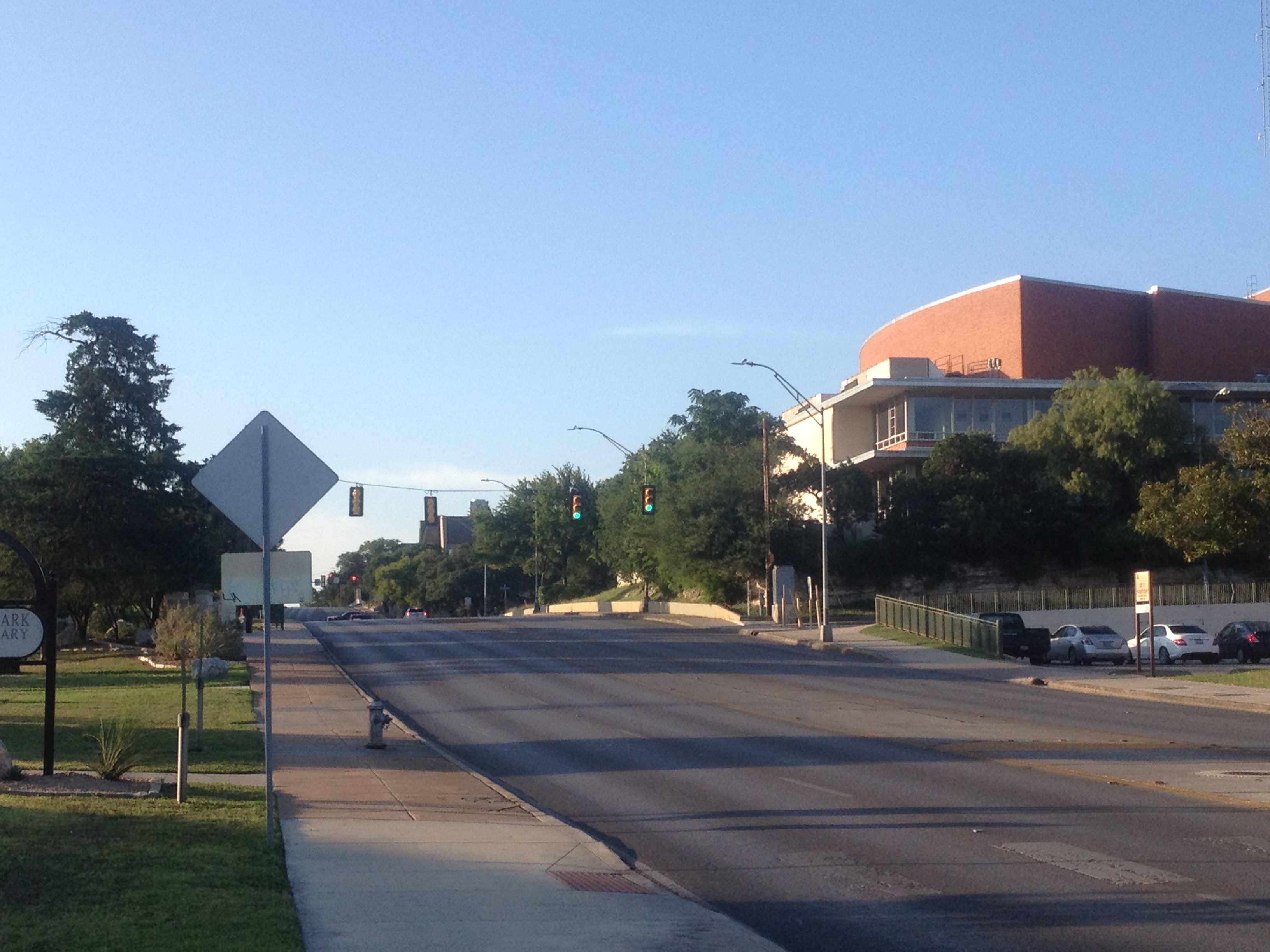
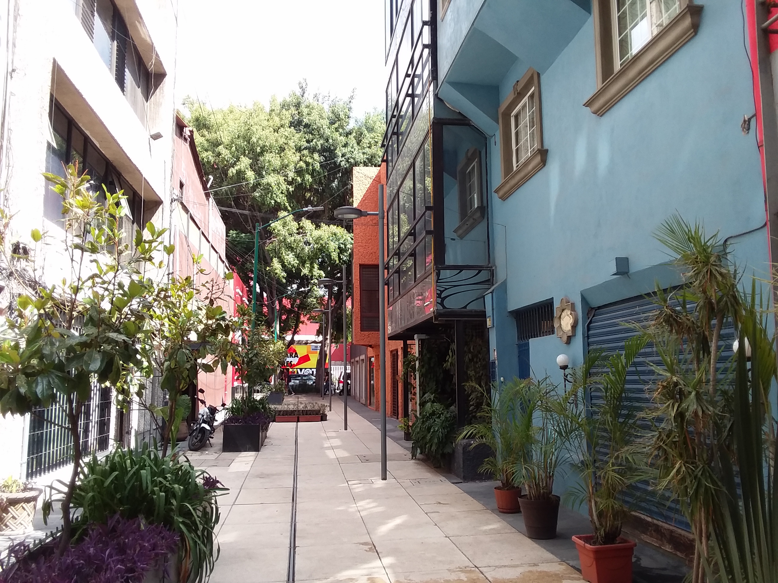
Focus Area #1: San Pedro Springs Focus Area
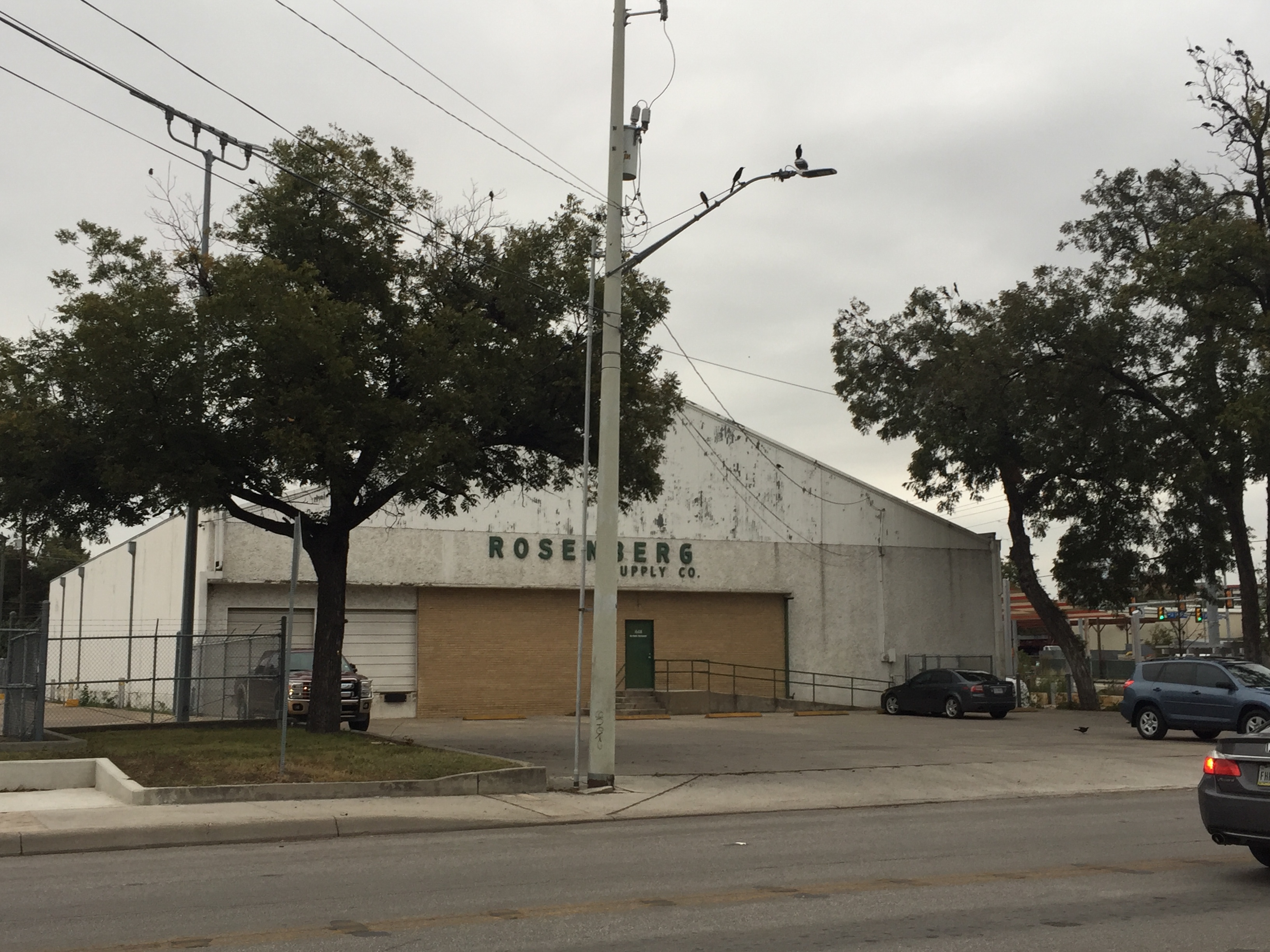
San Pedro Springs Focus Area is centered on San Pedro Springs Creek, next to San Pedro Springs Park and San Antonio College, 5 Points Neighborhood, and Alta Vista Neighborhood. It includes VIA Metropolitan Center and primarily auto-oriented development and street environments on San Pedro Avenue, Fredericksburg Road, and Cypress Street, with an abundance of surface parking and driveways. San Antonio’s 2017 Severe Pedestrian Injury Areas Report indicates that this area has Midtown’s highest concentration of serious and fatal pedestrian-automobile accidents.
Surrounding areas include Temple Beth-El, College Park and Villa Tranchese housing for seniors and people with disabilities, Esperanza Peace and Justice Center, and a construction supply and light industrial area to the west. VIA is considering substantial improvements to transit service on San Pedro Avenue, Fredericksburg Road, and Cypress Street, and the City of San Antonio’s and Alamo College’s 2017 bonds will fund several projects in the area. Mexican American and Hispanic culture is an important part of this area’s history and future. Local community and advocacy organizations, artists and public art, businesses and residents are part of this culture. Mexican Americans or Hispanics represent greater than average majorities in the residential areas surrounding the San Pedro Springs Focus Area (typically 70% to 95% on any given block).
San Pedro Springs Focus Area should be a place for people to live, work, play, shop, and connect with each other, San Antonio’s history, and San Pedro Springs Creek. It may include places to make and experience arts and culture, complementing studios, craft businesses, and theatres in the surrounding area. Development should relate to enhanced transit service on San Pedro Avenue, Cypress Street, and Fredericksburg Road. Areas near the intersections of Cypress/ San Pedro, and Fredericksburg/ Flores should be particularly transit-oriented and transit supportive. Streetscapes should be unique, comfortable, and enjoyable places to spend time. In the northern portion of the focus area, development should relate to and help define the edge of San Pedro Springs Park from the south side of Myrtle Street. A range of building sizes are contemplated for the area, similar to surrounding areas that include a diverse range of building heights, including tall buildings such as the Aurora building and Park View Apartments and finer grained streetcar era development on small lots. In limited instances, sites next to San Pedro Avenue may have buildings up to ten stories. Most development should be substantially shorter and should occur in smaller increments on smaller lots. This focus area includes redevelopment sites large enough for mixed-use development that includes a full service grocery. Given its proximity to diverse residential, retail, and service uses, enhanced VIA transit service, and complementary amenities and cultural assets such as San Pedro Springs Park, this location would be appropriate for a multigenerational community center in the future. Catalytic Site Concepts for areas near San Pedro Avenue and San Pedro Springs Park illustrate what the area might look like in the future.
Areas immediately surrounding San Pedro Springs Creek are critical to VIA’s operations for the foreseeable future. However, the long--term Midtown Plan vision for this focus area includes restoring ecology and public access to the creek, and orienting additional buildings and public spaces to the Creek so that more San Antonians can enjoy it together. This longer term vision not only supports a unique, nature-oriented place, but also should contribute to continuous north-south pedestrian connections between the headwater springs in San Pedro Springs Park and the San Pedro Springs Creek Culture Park downtown, and east-west connections to other open and natural spaces such as San Antonio College campus, Crockett Park, and the San Antonio River to the east. Nearer term development and public space improvement opportunities next to San Pedro Springs Creek (at Fredericksburg Road and at Myrtle Street), should contribute to the longer term nature- and creek-oriented development and public space vision described above.
The focus area includes southern portions of Fredericksburg Road Mixed-Use Corridor, including a site bounded by Laurel, Fredericksburg, Culebra, and Comal Streets that was historically contaminated. The site offers commanding views of the Downtown skyline and is within one block of an important transit service intersection and San Pedro Springs Creek, should be redeveloped to serve more people and contribute to the vision for this area. Existing uses west of Laredo and south of Fredericksburg Road such as food processing and construction supply uses are encouraged to continue.
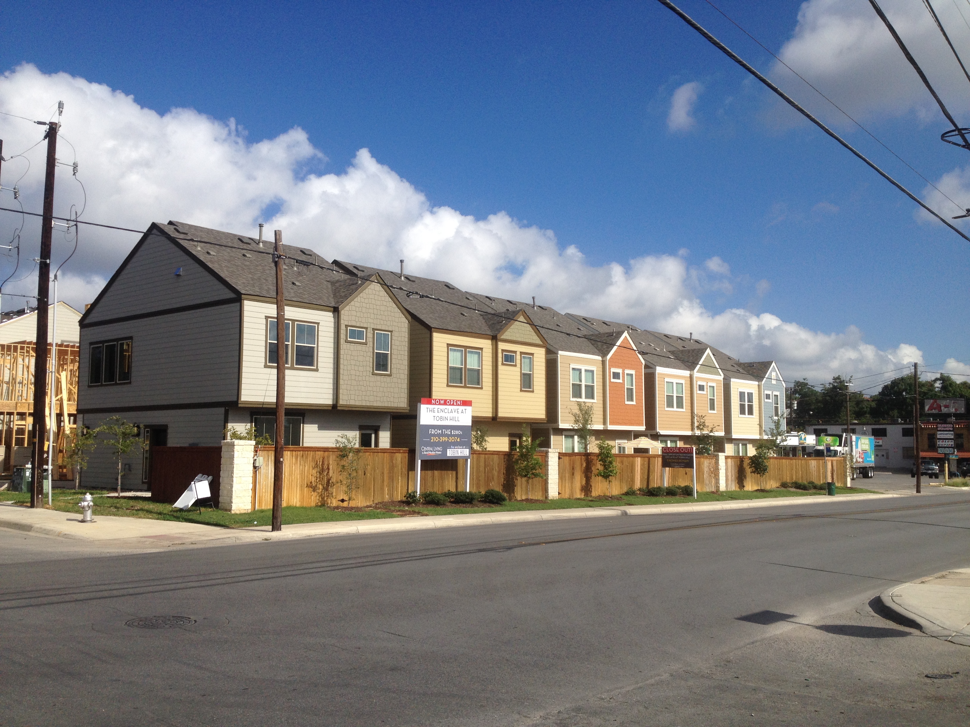
Focus Area #2: Main Avenue Focus Area
Main Avenue Focus Area which is centered on Main Avenue and Crockett Park, is next to the City’s most vibrant Lesbian, Gay, Bisexual, Transgender, Queer, Plus culture area, San Antonio College, and Methodist Hospital. The focus area is part of Tobin Hill neighborhood; however the remaining streetcar era residential area is to the east and northeast.
The focus area includes two pockets of historic landmark sites, and other individual landmark sites. Most of the area is occupied by surface parking lots and driveways. There is an assortment of uses and building types, such as small apartment buildings, multistory mid-century office and medical buildings, restaurants, bars, lodging, and a retail bank, among others.
Main Avenue Focus Area should be a place for people to live, work, and play. The focus area includes a diverse employment base, with Methodist Hospital and associated health care businesses around the hospital, and south of the focus area across I-35 in downtown. Additional households, workers, and public amenity improvements should support growth in the Main Avenue retail area to the north and its expansion into the focus area south of Crockett Park.
Development should relate to Main Avenue, McCullough Avenue, and Cypress Street and should define an active urban edge to Crockett Park. New above ground pedestrian tunnels connecting buildings across streets should not be allowed, and instead pedestrian comfort and safety investments should be focused on the public streets. Growth in the medical sector, new high density residential or mixed residential-commercial development, enhanced transit service and continued growth in Downtown’s River North District may catalyze further growth and amenity improvements in this focus area.
Two pockets of historic landmarks centered at the intersections of Lewis/Poplar and Euclid/Baltimore and other landmark sites, should be preserved and will contribute to a fine-grained historic character and variation in the built environment. Buildings heights surrounding Crockett Park should reflect those of the Tobin Lofts and the Metropolitan Professional Building, while closer to I-35 one or more buildings exceeding 10 stories is encouraged. As with other parts Midtown, it is important that any buildings occupying whole blocks or large footprints be complemented by finer grained development in the immediate vicinity. A greater mix of uses and larger numbers of people using areas near I-35 would contribute to connecting Midtown with Downtown. This focus area includes redevelopment sites large enough for mixed-use development that includes a full service grocery.
Focus Area #3: San Antonio River Focus Area and Josephine Street Mixed Use Corridor
San Antonio River Focus Area is between the San Antonio River, St. Mary’s Street, and Josephine Street. It is across the San Antonio River from Pearl, and within walking distance of the St. Mary’s retail and nightlife area.
The Tobin Hill Historic District and streetcar era residential neighborhoods are immediately to the west. The focus area includes a pocket of traditional neighborhood residences, blocks with creative studios, and construction supply uses. The most recent examples of redevelopment include townhomes and the conversion of light industrial buildings into offices and studios. More redevelopment is occurring here than other focus areas.
San Antonio River Focus Area should be a place for people to live, work, and play and connect with the San Antonio River. It should host a mix of residential options, creative studios, and creative fabrication uses.
New building heights in this focus area should be around two to three stories, with some taller buildings to accommodate more people adjacent to Josephine Street and the San Antonio River. Development in the narrow blocks between Josephine and Grayson should be primarily oriented to Josephine Street. Development on blocks between the San Antonio River and Elmira should be oriented primarily to Elmira, but should also have secondary orientation to the River. The traditional residential neighborhood cluster on Myrtle Street between St. Mary’s Street and Euclid Street is not encouraged to change. Redevelopment is encouraged on larger underutilized lots, whereas adaptive reuse of existing buildings is encouraged where there is existing fine-grained urban character.
Recommendations for streetscape improvements and urban design for this area should be carried forward from the Midtown Brackenridge TIRZ Plan (2011). These include important recommendations for bulb-outs, utility pole relocations, street lighting, trees, and the cross section on Josephine Street, which will play an increasingly important role as a primary connection between the Broadway Cultural Corridor, San Antonio River, and Pearl to the east, and the neighborhoods and focus areas in central Midtown to the west. An improved streetscape is important to Josephine fulfilling its increasingly important dual roles as a connector and a unique place in itself.
Two pending issues for this area are parking and the desire for less noise in neighborhood areas. Surface parking areas next to the San Antonio River should be redeveloped to serve more people and diverse uses next to the river. However, parking demand may increase in the next several years. Future development should include shared, centralized parking to the extent needed. As the area’s residential population grows, the potential for conflicts with live music venues on St. Mary’s Street increases. Live music is fundamental to St. Mary’s character, and is a unique and valuable contribution to Midtown and San Antonio. New residences should be designed to dampen outside noises.
Focus Area #4: North Broadway Focus Area
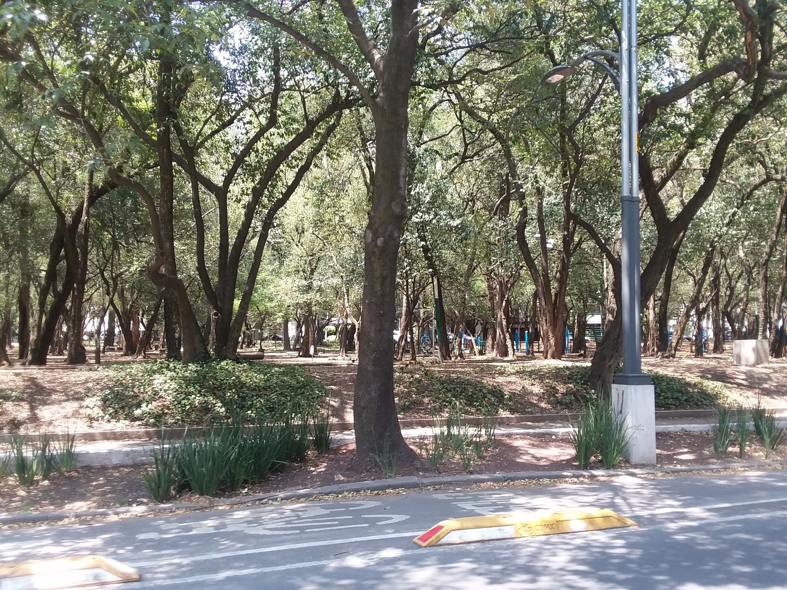
The North Broadway Focus Area includes the Witte Museum, important entrances and transitions to Brackenridge Park, and the San Antonio River and Catalpa Pershing Channel. It is also next to University of the Incarnate Word, and Mahncke Park Neighborhood.
This area is fundamentally important to the future of the Broadway Cultural Corridor.
It includes a mix of surface parking, auto-oriented retail, and multistory office buildings. Broadway Street currently serves primarily as an automobile travel corridor. The most recent examples of new development in the surrounding area on Broadway are one story, nationally-branded retail and restaurant establishments amidst surface parking that occupies a majority of each development site.
Vision for North Broadway Focus Area should be a place for people to learn, live, work, play, and recreate outdoors. It will play an important role in the success and character of the Broadway Cultural Corridor. Brackenridge Park, the San Antonio River, the San Antonio Zoo, Botanical Garden, Witte Museum and University of the Incarnate Word are regional destinations that should be complemented by a larger resident and workforce population, shops, restaurants, plazas and paseos connecting unique places in the blocks between Broadway and Avenue B with the Catalpa Pershing Channel and Brackenridge Park.
Fine-grained, high quality urban development should complement the iconic and character defining assets of the area, such as the Witte Museum, Catalpa Pershing Channel, Miraflores Garden, and multiple unique places within Brackenridge Park. The design and relationship of buildings to Broadway and Avenue B require careful consideration to complement and provide visual and physical access to Brackenridge Park, and to create unique, active pedestrian spaces.
Avenue B and Broadway should both be activated pedestrian environments, and both the Midtown Brackenridge TIRZ Plan (2011) and the Broadway Corridor Concept Plan (2016) included extensive placemaking and design recommendations that remain applicable and should be implemented. Buildings should typically be up to four stories, though many may be shorter. Variation in building sizes and incremental small lot development is encouraged, although some developments may occupy much of a block, especially if needed to incorporate community or urban design priorities such as affordable housing units, a shared parking structure, or a public plaza or paseo.
The Midtown land use map and policy for Regional Mixed-Use and Urban Mixed-Use areas encourages sufficiently large resident and worker populations to support active retail, culinary, and streetscape environments. However, given that most land in the surrounding area such as Brackenridge Park and Mahncke Park neighborhood residential areas are not places where many more people can live and work than currently do, fine-grained development and active mobility strategies are needed. A mix of local population and workforce growth adjacent to Broadway, shared-central parking facilities, high quality transit service, other shared mobility solutions, and streetscape improvements to Broadway and Avenue B are needed to support the vision for this focus area to transition from one characterized by large amounts of surface parking and higher speed automobile travel to one characterized by high quality and unique places for more people to explore, connect, slow down, and enjoy.
A package of flood mitigation, rezoning and design standards, streetscape, and transit system improvements can continue bringing the vision for Broadway to reality.
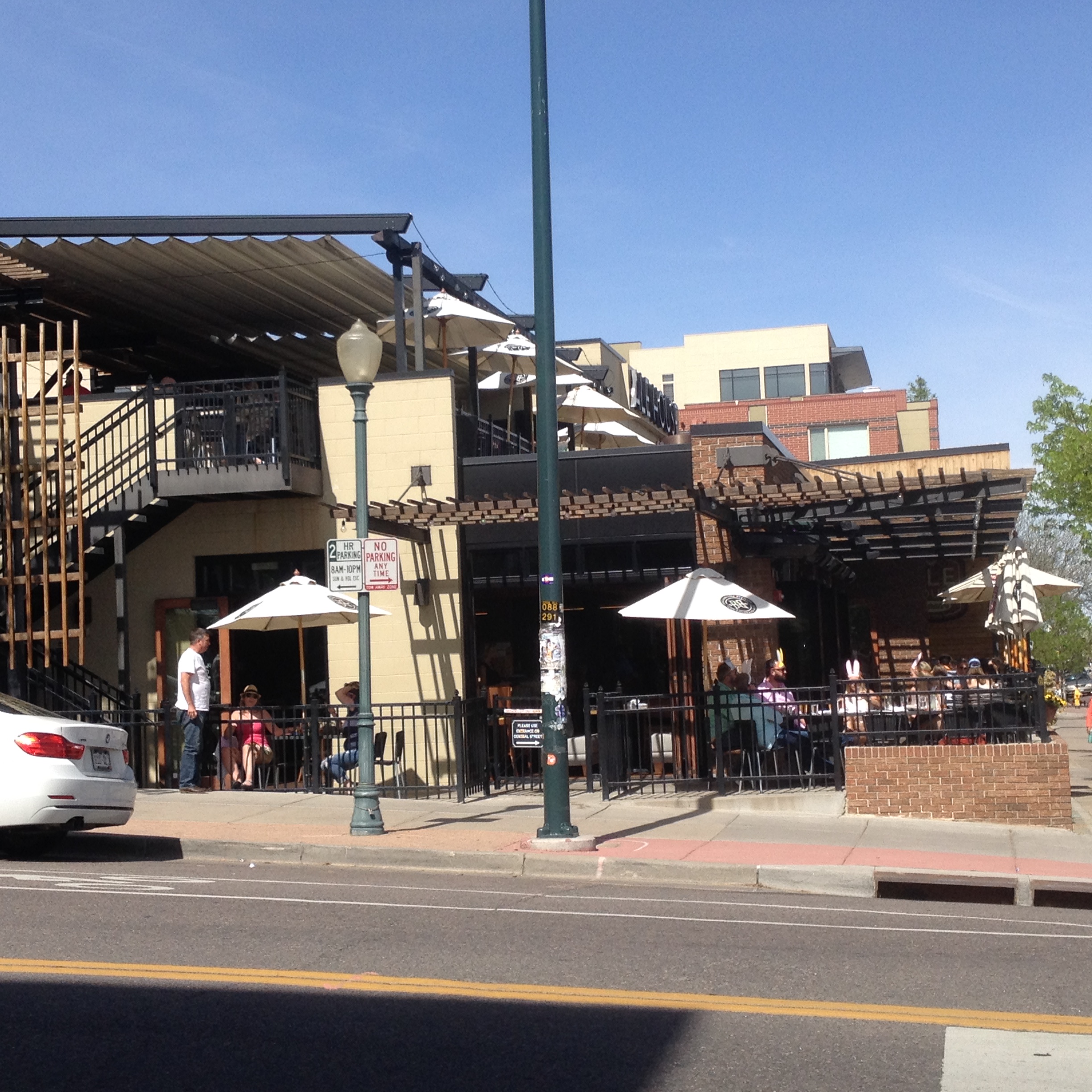
Focus Area #5: Fredericksburg Road Mixed-use Corridor
The Fredericksburg Road Mixed-Use Corridor extends from N Flores Street to I-10. However, the Midtown Regional Center Plan does not address most of the northeast side of Fredericksburg Road. The vision and recommendations described below should be reconciled with those created in a future sub-area plan addressing those areas.
Fredericksburg Road in the Midtown Plan area includes auto service and repair, breakfast and lunch service dining and fruterias, art studios, a theatre, convenience stores and gas stations, and historic building supply reuse stores, among other uses. Uptown, Beacon Hill, Alta Vista, and 5 Points neighborhoods are next to Fredericksburg Road. Mexican Americans or Hispanics represent greater than average majorities in the residential areas surrounding Fredericksburg Road (typically 70% to 95% on any given block). There are multiple Mexican American restaurants and small businesses adjacent to Fredericksburg Road.
Properties next to Fredericksburg Road have shapes and sizes that challenge conventional models of mixed-use development and parking. Single family homes, duplexes, triplexes, and four-plexes are located adjacent to these properties. The street environment is not comfortable for walking or bicycling, but will be improved through the 2017 Capital Improvements Bond.
Since as far back as the 2001 Midtown Neighborhoods Plan, Fredericksburg Road has been planned as a mixed-use, pedestrian- and transit-oriented environment, rooted in existing structures that contribute historic character and unique identity to the area. However, the most recent examples of new development on the corridor include a gas station and convenience store at Fredericksburg Road and Woodlawn Avenue, and mobile offices oriented to surface school bus parking behind a chain link fence, south of Cincinnati at the Higgs Carter and King Academy site. Other recent reinvestment more consistent with adaptive reuse and preservation goals of the Midtown Neighborhoods Plan (2001) includes reuse of existing buildings, particularly between Cincinnati and Craig, an area considered to be eligible for Historic District Designation by the Office of Historic Preservation.
.jpg)
Fredericksburg Road should be a place for people to live, work, create and exhibit art, shop, dine and gather. Some area businesses expressed support for making the public realm greener. The existing fine-grained cluster of buildings and uses from around Ashby Place to around Craig Place, and other buildings with historic character should be maintained. Furthermore, the existing arts uses should be maintained and may require support as the area improves. The vision for the rest of the corridor includes incremental change in the built environment, so that more people can live in and contribute to the area. The existing mix of studios, retail, family daytime dining, building materials supply, and offices is valued. the Mexican American restaurants that serve as gathering places for families, friends, and neighbors to meet and run into each other are important to Fredericksburg Road’s future success as a place that serves the surrounding community.
Additional dwellings, including affordable housing are encouraged. More diverse dining options, including restaurants with dinner service are encouraged to support use of the area throughout the day and evening, and to complement art and theatre venues. Residential development without a mix of commercial uses is encouraged in blocks that are relatively distant from planned transit stations and from the Ashby Place to Craig Place segment, in order to both contribute to Midtown’s housing goals, and to support and distinguish identifiable pedestrian- and transit-oriented mixed-use and commercial places.
Obstacles to achieving this vision include the current street environment that is uncomfortable for pedestrians, commercial zoning that does not include residential opportunities, zoning that encourages new auto-oriented uses, and zoning that encourages commercial uses to be excessively spread out along the whole corridor instead of supporting concentrated mixed-use commercial nodes. San Antonio’s infill development zone (IDZ) requirements for building height and onsite parking may constrain opportunities to use these zones for new housing that would contribute to this area, given the small and irregularly shaped lots along Fredericksburg Road.
- Continue maintaining and adaptively reusing existing buildings that contribute to the essential character of the corridor.
- Rezone to support more dwellings and mixed-use commercial nodes.
- Amend the unified development code to support a better public realm.
- Implement higher quality transit service if ultimately recommended by VIA, and associated transit -supportive zoning.
- Consistent with the Midtown future land use plan, zoning code and map changes in the vicinity of VIA’s planned Rapid Transit Corridors station areas should follow guidance provided by the:
- Complete the Fredericksburg Road and 5 Points Intersection 2017 Bond projects.
- Cleanup and redevelop the site at the northwest intersection of Fredericksburg Road and Laurel Street.
- Support the Higgs Carter and King Academy site as a place where multiple elements of the Fredericksburg Road vision and Uptown Neighborhood priorities can be supported, most importantly with housing for a substantial number of people. The site is large enough to host adaptable and shared structured parking that would allow small and irregularly shaped lots on nearby blocks of Fredericksburg Road to be used primarily for buildings instead of for surface parking required by the zoning code. The site also includes a historic drainage course that may be improved as a visually appealing stormwater management facility to improve water quality downstream in San Pedro Springs Creek and create a unique feature to anchor a small public plaza, should there be enough people living, working, and playing in the area to use it.
- Complete a Neighborhood Improvements Bond project on one of the eligible properties.
- Fredericksburg Road in Midtown and the Deco District should be included in a state designated Cultural District if one is pursued for other areas in Midtown or inner northwest neighborhoods. Programs, policies or partnerships that support stable and affordable housing and studio spaces for artists should be used here.
- Concentrated mixed-use commercial nodes should be supported between Ashby Place and Craig Place, and near future high quality transit stations.
Focus Area #6: San Pedro Avenue Mixed-use Corridor
San Pedro Avenue is an important travel corridor running through the heart of Midtown, connecting Downtown with north side neighborhoods and the Airport Regional Center. Vehicles travel quickly through the area on the five to six lane road. VIA is considering using San Pedro Avenue for a high quality Rapid Transit service. Two of the Midtown focus areas border San Pedro Avenue, and the two catalytic site concepts for Midtown were created for sites on the corridor. The most recent examples of development adjacent to San Pedro Avenue are both located near I-35. A new drive-through restaurant and gas station/convenience store are a preview of other related options for anyone travelling north from downtown.
The vision for San Pedro Avenue represents a change from current trends. In contrast to its current configuration prioritizing automobile travel, and with most adjacent land used for parking and driveways, in the future San Pedro Avenue should include high quality transit service and walking environments. Surrounding land should include a dense mix of residential and commercial uses oriented to the street, with a mixed-use transit-oriented hub focused on the blocks closest to San Pedro Avenue and Cypress Street, potentially extending as far north as Myrtle Street. Significant amounts of housing, with or without commercial uses are welcome further south away from Cypress Street. South of Cypress Street, on the west side of San Pedro Avenue, lower densities and extra care in design is needed to make development compatible with neighborhood residential areas in 5 Points.
The following actions would contribute to achieving the vision for San Pedro Avenue mixed-use corridor, while contributing to other Midtown goals:
- Continue maintaining and adaptively reusing existing buildings that contribute to the essential character of the corridor.
- Implement higher quality transit service on San Pedro Avenue and Cypress Streets if recommended by VIA, and associated transit–supportive zoning.
- Concentrated mixed-use commercial nodes should be supported in the vicinity of San Pedro Avenue and Cypress Street.
- Rezone to support more dwellings and mixed-use commercial nodes.
- Amend the unified development code to support a better public realm.
- Consistent with the Midtown future land use plan, zoning code and map changes in the vicinity of VIA’s planned Rapid Transit Corridors station areas should follow guidance provided by the:
- Create shared parking as part of larger catalytic mixed-use projects.
- Complete a Neighborhood Improvements Bond project on one of the eligible properties.
- Implement the near term multimodal improvement recommendations from the SA Tomorrow Multimodal Transportation Plan, and complete a transformative multimodal street project as part of a 2022 Bond or as part of implementing higher quality transit service.
- Mixed-use redevelopment is encouraged to include affordable housing and space for existing uses valued by area residents, such as social services, budget dining, and a pharmacy.
- Support existing and new businesses and organizations that serve as gathering places for Mexican American, Lesbian, Gay, Bisexual, Transgender, Queer, Plus, and other cultures.
Focus Area #7: Main Avenue Mixed-use Corridor
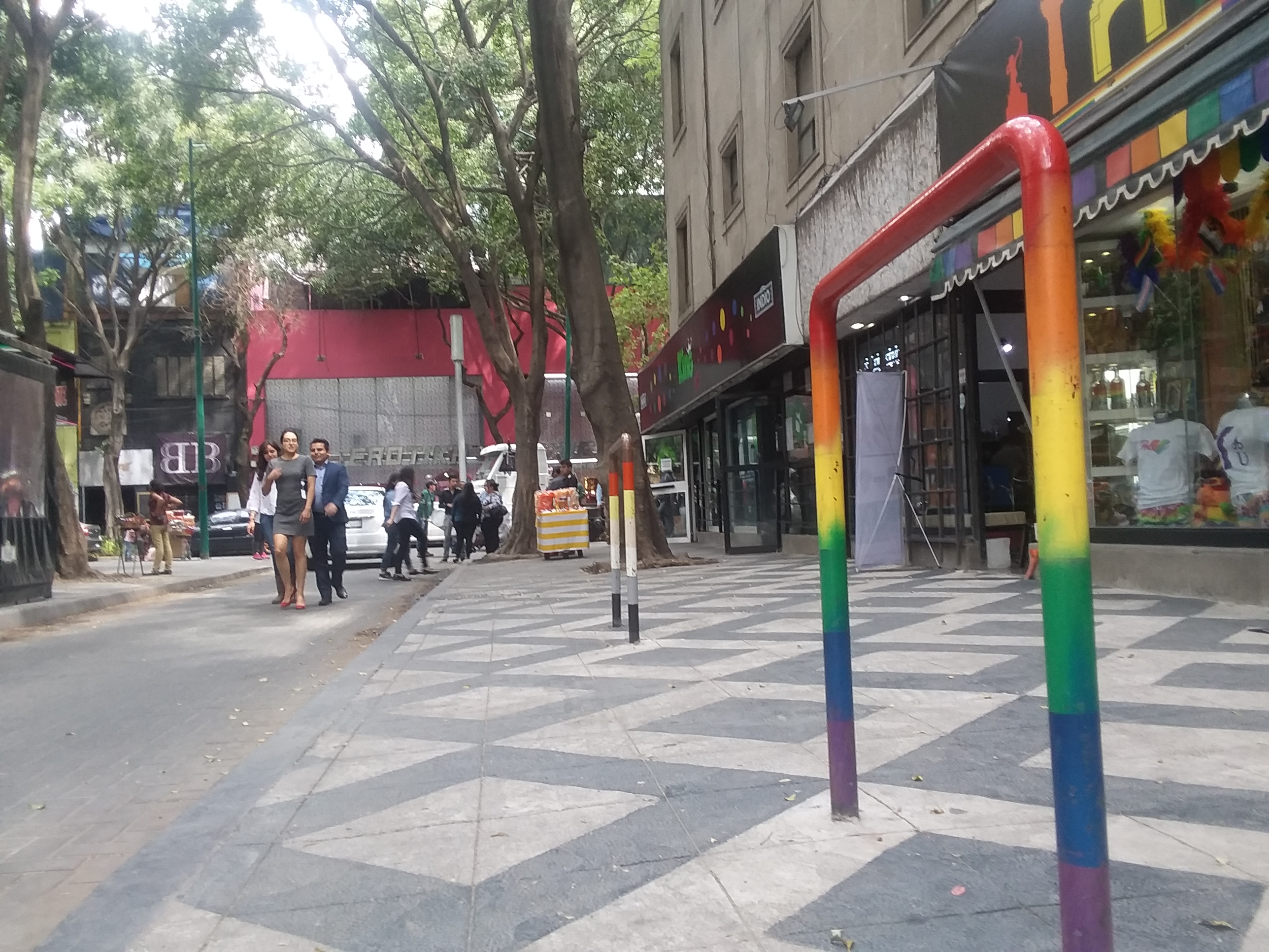
Main Avenue north of East Laurel is home to a vibrant mixed-use retail and nightlife area. It is home to San Antonio’s greatest concentration of businesses and gathering places oriented to Lesbian, Gay, Bisexual, Transgender, Queer, Plus culture. San Antonio College intends for its “front door” to be here. Although it is travelled by automobiles in Midtown, it has lower average daily traffic volumes than San Pedro Avenue or McCullough Avenue because it does not provide a continuous straight path to regional destinations to the north.
Tobin Lofts is a recent example of new development mixing housing, a restaurant, and San Antonio College student services. Across the street and on other nearby street segments are examples of recent adaptive reuse of existing one story structures that together are contributing to a vibrant place. South of Crockett Park, Main Avenue has a markedly different character, where parking and driveways are the primary adjacent uses. The area south of Crockett Park is part of the Main Avenue Focus Area, and the Midtown Regional Center Plan section for this area includes additional information on existing conditions and future vision.

The vision for Main Avenue is to continue as a mixed-use retail, dining, and nightlife area north of Crockett Park, and for some transformation south of Crockett park to accommodate substantial amounts of housing, with another potential mixed-use commercial hub somewhere between Crockett Park and I-35. As more people come to use this area, streetscape and sidewalk improvements will be needed.
The following actions would contribute to achieving the vision for Main Avenue mixed-use corridor, while contributing to other Midtown goals:
- Continue maintaining and adaptively reusing existing buildings that contribute to the essential character of the area.
- Implement higher quality transit service on Cypress Street if recommended by VIA, and associated transit-supportive zoning.
- Concentrated mixed-use commercial nodes should be supported in the vicinity of San Pedro Avenue and Cypress Street.
- Rezone to support more dwellings, including affordable housing, in the blocks between Main and McCullough avenues.
- Amend the unified development code to support a better public realm.
- Improve the pedestrian environment, including either street parking or protected bicycle lanes.
- Install a consistent set of signage, lighting, or sculptures celebrating local Lesbian, Gay, Bisexual, Transgender, Queer, Plus culture.
Focus Area #8: McCullough Avenue Mixed-use Corridor
McCullough Avenue is a heavily used travel corridor and includes a mix of low density offices, day time restaurants, automobile service businesses, and parking, among other uses. The corridor is next to Tobin Hill neighborhood and Methodist Hospital further south.
The vision for McCullough Avenue mixed-use corridor north of Evergreen Street is for modest growth in commercial businesses and housing. South of Evergreen Street, in the Main Avenue Focus Area, substantial amounts of hospital offices and compatible uses are envisioned in place of existing surface parking areas. McCullough Avenue Consortium, a group of local stakeholders and residents, is leading a unique public visioning process to define the future of McCullough Avenue from Cypress Street south through Downtown past I-37. Their work will redefine opportunities in Midtown.
The following actions would contribute to achieving the vision for McCullough Avenue mixed-use corridor, while contributing to other Midtown goals:
- North of Evergreen Street, adaptive reuse of existing structures that contribute to the essential character of the area is encouraged.
- North of Evergreen Street, residential development without a mix of commercial uses is welcome, to support housing supply and a customer base for nearby concentrated commercial mixed-use nodes.
- As redevelopment occurs north of Evergreen Street, driveways should be relocated to side streets to improve walking and bicycling.
- In the vicinity of Methodist Hospital, improve ground level pedestrian environments to be safe and comfortable for everyone instead of building new above ground pedestrian passages over streets.
Focus Area #9: Broadway Cultural Corridor
The Broadway Cultural Corridor is many things to many people. It is a regional destination, with some of San Antonio’s best amenities: the best museums, the best garden, the best park. The San Antonio River skirts its edge near the Witte Museum. University of the Incarnate Word’s campus graces it near the City of Alamo Heights. All epochs of San Antonio’s history include stories associated with this area. Broadway includes restaurants, shops, and services used by neighborhood residents, visitors from other parts of the city, and commuters. Many people have memories of this place from formative years, such as growing up or raising children, which inform their perspectives on what Broadway should be in the future.
Another role Broadway serves is that of a travel corridor. Broadway conveys local residents from Mahncke Park, Westfort Alliance, and Government Hill to other destinations; it links people in Downtown, Alamo Heights, and other neighborhoods to the northeast. It brings people to and from destinations such as Pearl, Ft. Sam Houston, and the Zoo. Most uses adjacent to Broadway are auto-oriented, with substantial surface parking areas, often in font of buildings, with frequent driveways interrupting sidewalks.
There is a rich history of plan making and visioning for Broadway and adjacent areas, most recently in the Midtown Brackenridge TIRZ Plan (2011), Centro’s Broadway Corridor Concept Design (2016), and the Brackenridge Park Master Plan (2017). The City of San Antonio is currently completing a Broadway Cultural Corridor Art Master Plan. Previously, other plans had been completed including neighborhood plans for Mahncke Park, Westfort Alliance, Government Hill, and Tobin Hill. The more recent plans include relatively detailed visions for the built environment and urban design around Broadway. These visions were consistent with one another, but depart from existing conditions, where the Broadway Cultural Corridor would evolve into a better place to spend time enjoying, more than a corridor to pass through.
The Midtown Brackenridge TIRZ Plan included comprehensive design and regulatory recommendations to achieve a vision that remains compelling and consistent with the Midtown Regional Center Plan Vision and Goals. To avoid repetition, and to emphasize the continued relevance of the findings and recommendations on design and zoning adopted in 2011, readers are referred to the Midtown Brackenridge TIRZ Plan Chapter 3 “Character Areas” and Chapter 4. B. “Organizing for Infill with Regulatory Changes.”
Since completing the Midtown Brackenridge TIRZ Plan, most of the design and zoning recommendations have not been implemented in actual Unified Development Code revisions. In addition, examples of recent new development north of Mulberry have been essentially auto-oriented and inconsistent with the plan vision.
Broadway Cultural Corridor should be a place for more people to live, work, learn, and experience the best cultural and open space amenities San Antonio has to offer. It should be a collection of unique places for people to enjoy. More living, shopping and culinary clusters are encouraged, amidst high quality pocket plazas and paseos that connect Broadway to Avenue B, Catalpa Pershing Channel, Brackenridge Park, and the San Antonio River. The street environment should be comfortable and enjoyable for walking, and should support high quality transit service.
The Midtown future land use map encourages variation and the evolution of identifiable amenity-oriented and transit-oriented places with hubs of higher density/intensity development in selected areas along the corridor. The future land use map, paired with the other recommendations provided below are intended to create unique mixed-use places for more people to use, while respecting Brackenridge Park, adjacent neighborhoods, and flood risk.
The Midtown future land use map also varies recommended density/intensity perpendicular to Broadway, guiding compatible transitions with nearby neighborhood residential areas and Brackenridge Park. However it should be noted that the resolution of land use mapping is not suited to articulating this transition over such short distances, and that future land use mapping primarily guides uses and the number of users, rather than building forms and site designs. Transitions should be addressed carefully through the Unified Development Code and zoning map at all interfaces between commercial and multifamily uses that will be adjacent to Broadway, and to park and neighborhood residential uses nearby.
Rather than recommending a new set of design and zoning recommendations, this plan recommends that the City implement the design and zoning recommendations provided in the Midtown Brackenridge TIRZ Plan (2011). These recommendations reflect the input received from the Midtown Planning Team and through the Midtown Plan public involvement process on the following issues:
- Incorporating public plazas, paseos, green infrastructure and streetscape amenities into new development
- Visual and physical connections from neighborhoods and Broadway Street to Brackenridge Park
- Pedestrian-oriented development
- Sensitive transitions in development between Broadway Street, Brackenridge Park, and Neighborhoods.
- Shared parking.
The following actions would contribute to achieving the vision for Broadway Cultural Corridor, while contributing to other Midtown goals:
- Complete the 2017 Bond project multimodal and placemaking improvements from Mulberry Avenue through and including the intersection of Broadway and Hildebrand.
- Reduce flood risk at reduced cost, by incorporating drainage improvements into the multimodal and placemaking Bond project, between Carnahan Street and the Catalpa Pershing Channel.
- Implement higher quality transit service connecting Downtown with Broadway Cultural Corridor destinations, University of the Incarnate Word, and northeast side Regional Centers, if recommended by VIA.
- Amend the unified development code and rezone selected areas following the recommendations of the Midtown Brackenridge TIRZ Plan Chapter 3 “Character Areas” and Chapter 4. B. “Organizing for Infill with Regulatory Changes. Completing this task will require a thorough process focused on the Broadway Cultural Corridor that convenes stakeholders and community representatives with private sector design professionals and experts from the multiple city departments that implement existing regulations.As described in the Midtown Brackenridge Tax Increment Reinvestment Zone (TIRZ) Plan Chapter 3 ”Character Areas ” and Chapter 4. B. ”Organizing for Infill with Regulatory Changes ”, this process would change how the River Improvement Overlay (RIO) districts and neighborhood conservation districts regulate development adjacent to Broadway Street.
- Consistent with the Midtown future land use plan, zoning code and map changes in the vicinity of VIA’s planned Rapid Transit Corridors station areas should follow guidance provided by the:
- Implement the Brackenridge Park Master Plan (2017) recommendations related to park access, perimeter development, Avenue B, and the Catalpa Pershing Channel.
- Complete and implement an art master plan for Broadway Cultural Corridor.
- Shared parking investments by public/private/institutional partnerships may be required to sustain the growing number of visitors to area destinations and to elicit pedestrian oriented development where surface parking would otherwise be built. This may involve a combination of unified development code changes and the formation of an improvement district to pool resources for shared parking or to reimburse a shared parking provider.
The following places are home to a mix of uses including neighborhood serving businesses. They have unique character, and were discussed at relative length by community participants in the Midtown planning process. Therefore, even though they were not identified by the Midtown Planning Team as Midtown’s future primary mixed-use corridors, the plan includes a dedicated description and recommendations for these places below.
Flores Street Mixed-use Corridor
Flores Street, winding along an original acequia route in the 5 Points Neighborhood, features a mix of diverse business types, including a Mexican American grocery, contemporary cuisine, traditional family dining, schools, offices, and social services. These uses, combined with selected business near San Pedro Avenue such as the pharmacy and laundromat, make 5 Points a relatively complete neighborhood in Midtown. A cluster of art and craft businesses, informally named the 5 Points Design District, represent newer layers of culture knitted with the centuries of San Antonio history found in this area.Local community and advocacy organizations, artists and public art, businesses and residents contribute this area’s Mexican American cultural heritage. Mexican Americans or Hispanics represent greater than average majorities in the residential areas surrounding Flores Street (typically 70% to 95% on any given block).
The vision for Flores Street mixed-use corridor does not depart greatly from existing conditions, however more people can and should be able to live, work, and gather adjacent to Flores Street, in and around adaptively reused and new buildings, especially in northern sections between Cypress Street and Fredericksburg Road.
The following actions would help achieve the vision for the Flores Street corridor while contributing to other Midtown goals:
- Complete the 5 Points Intersection 2017 Bond project.
- Concentrated mixed-use commercial nodes should be supported between Fredericksburg Road and Cypress Street, and between Warren Street and Euclid Avenue.
- Implement higher quality transit service stopping at the 5 Points Intersection if recommended by VIA, and associated transit-supportive zoning.
- Continue maintaining and adaptively reusing existing buildings that contribute to the essential character of Flores Street.
- Improve the publicly-owned green spaces around San Pedro Springs Creek so that they can be comfortably used by more neighborhood residents and visitors.
- Improve the I-35 gateway with art or artistic lighting, and make comfortable pedestrian connections to the San Pedro Springs Creek Culture Park and San Pedro Springs Park.
- Isolated drainage problems between Marshall Street and Euclid Avenue should be corrected to prevent standing water and mud accumulation in bike lanes and where more pedestrian activity is anticipated in the future.
- Repair and construct sidewalks on street segments intersecting Flores Street, for example on Marshall Street west of Flores.
- Support local businesses that serve as community gathering places, or that contribute to maintaining Mexican American culture, such as restaurants and the grocery store.
St. Mary’s Street Mixed-use Corridor
St. Mary’s Street north of Josephine Street includes a mix of restaurants, live music venues, bars, churches, and commercial strip retail. The North St. Mary’s Business Owners Association organizes and advocates for improving business opportunities while maintaining this place’s unique culture. St. Mary’s Street includes Mexican American and Lesbian, Gay, Bisexual, Transgender, Queer, Plus gathering places. South of Josephine Street there is residential, office, and light construction supply and storage uses. The corridor is next to Tobin Hill’s traditional residential neighborhood and Tobin Hill Historic District, the San Antonio River Focus Area to the east, and the San Antonio River and Pearl a short distance beyond.
There are a variety of compatibility issues related to adjacency of the area’s nightlife with residential areas, including parking, litter, and other activities associated with a concentration of drinking establishments. Solutions should be sought in managing these issues, without limiting household growth or the area’s cultural vibrancy. For example, instead of limiting live music venues north of Josephine Street, resources should be pooled to support law enforcement, trash pickup, and shared parking.
A thriving nightlife, culinary and live music scene on St. Mary’s Street north of Josephine Street is an important part of the Midtown vision. Commercial diversity, including more retail and restaurants with daytime service is especially supported here.
The following actions would contribute to achieving the vision for St. Mary’s Street while contributing to other Midtown goals:
- St. Mary’s should be a part of a state-designated Cultural District.
- A local improvement district drawing revenue from local properties and business should be considered to fund shared services including parking and waste and litter management.
- Live music venues and bars should be concentrated north of Josephine. South of Grayson, residential development that does not necessarily include commercial uses is welcome.
- Make Josephine Street an inviting, vibrant and comfortable multimodal connection between San Antonio River and St. Mary’s Street.
- The Midtown Brackenridge TIRZ Plan (2011) includes additional recommendations that would contribute to this area’s success.